Amsterdam,
street by street
Mappa is a free iPhone travel journal for city breaks. Explore Amsterdam and every street you pass lights up on your map, for good.
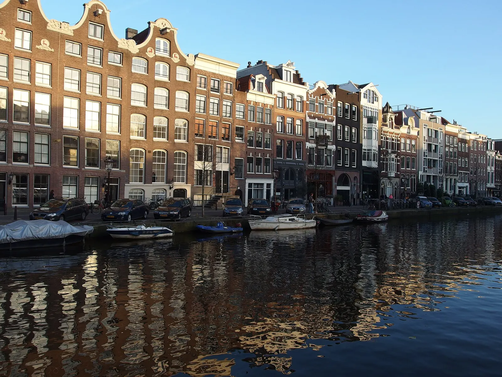
A city break in Amsterdam
Amsterdam's canal ring curves in half-circles, so it's easy to turn yourself round and cross the same bridge twice. On foot or by bike, the Jordaan, the Plantage and De Pijp are all close.
The map keeps count for you: which canals you followed, which you only crossed, and the neighbourhoods past the ring that you meant to see.
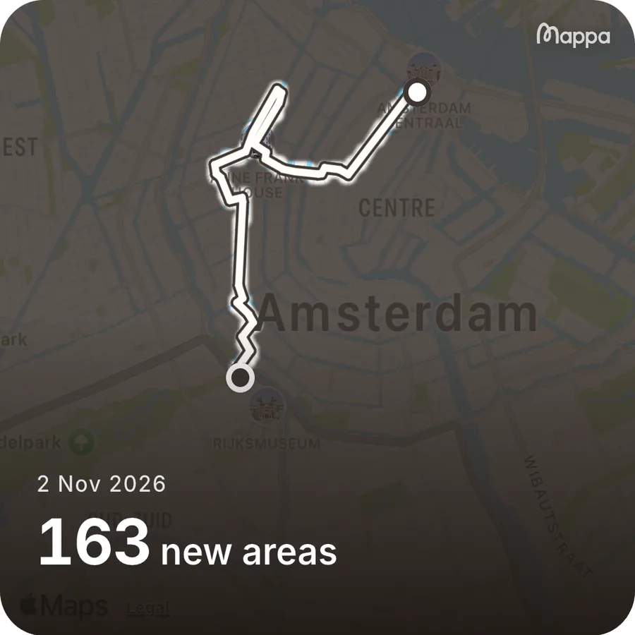
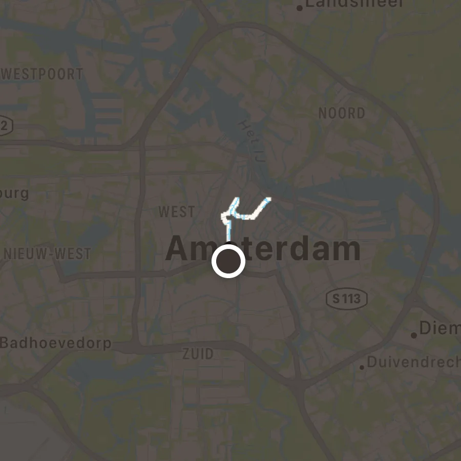
Amsterdam's neighbourhoods
With Mappa+, Districts draws these 20 on your map, named and outlined, so you know when you've crossed from one into the next.
Outlines from Gemeente Amsterdam, CC0 1.0.
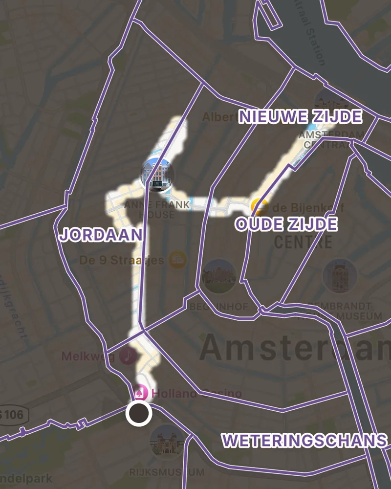
- Burgwallen-Nieuwe Zijde
- Burgwallen-Oude Zijde
- Grachtengordel-West
- Grachtengordel-Zuid
- Jordaan
- Haarlemmerbuurt
- Nieuwmarkt/Lastage
- De Weteringschans
- Weesperbuurt/Plantage
- Oostelijke Eilanden/Kadijken
- Westerpark
- Bos en Lommer
- Oud-West, De Baarsjes
- Oud-Zuid
- De Pijp, Rivierenbuurt
- Buitenveldert, Zuidas
- Oost
- Noord
- Nieuw-West
- Zuidoost
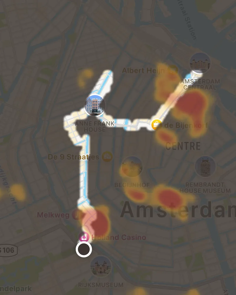
Where Amsterdam goes out
Hotspots shades the streets and squares where Amsterdam's cafés, bars and sights cluster. It covers 26 European cities and comes with Mappa+.
Your own map is free and works everywhere. Every outing in Amsterdam joins the trip page, with your photos and the places you saved.
Is there an app that shows which streets of Amsterdam I've explored?
Yes. Mappa is a free iPhone travel journal for city breaks. Start an outing in Amsterdam and every street you explore lights up on your map, for good, with your photos pinned where you took them.
Does Mappa show Amsterdam's neighbourhoods?
Yes, with Mappa+. Districts draws 20 Amsterdam neighbourhoods on your map, named and outlined, from open data, and Hotspots shows the streets and squares where the city goes out.
Can I add a trip to Amsterdam I've already taken?
Yes. Add the trip and pick its photos. Mappa pins them where you took them and lights up those spots on your map.
Does Mappa work in Amsterdam without mobile data?
Exploring and capturing do. Outings and photos are recorded on the phone whatever the signal and catch up when you're back online. The base map itself needs a connection to load.
More cities
Start your
Amsterdam map
Install Mappa before you go, or add the photos from a trip to Amsterdam you've already taken. It's free.
Get the app